
Latest User stories
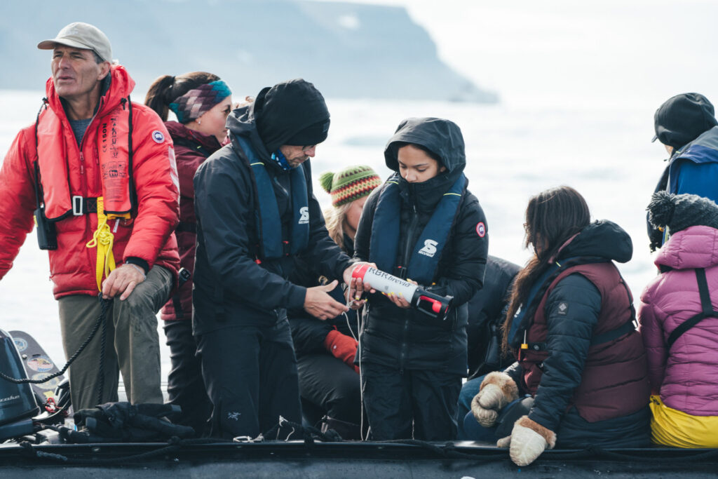
Students On Ice cast an RBRbrevio³ CTD into the Arctic Ocean and learn about Arctic science and change
Learn More (Students On Ice cast an RBRbrevio³ CTD into the Arctic Ocean and learn about Arctic science and change)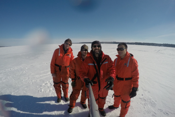
RBR array records high accuracy and frequency temperature under seasonal lake ice
Bernard Yang (right) and Mathew Wells (second from right) from the University of Toronto, as well as Mike Mueller and Jeremy…
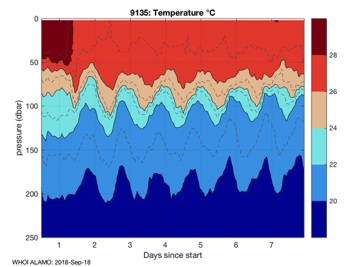
RBRargo CTDs profile under Hurricane Florence and provide critical forecasting data
On September 11, 2018, a NOAA Hurricane Hunter airplane flew into the path of Hurricane Florence and air-deployed 10 RBRargo CTDs…
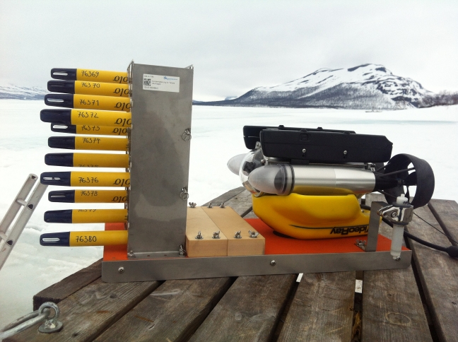
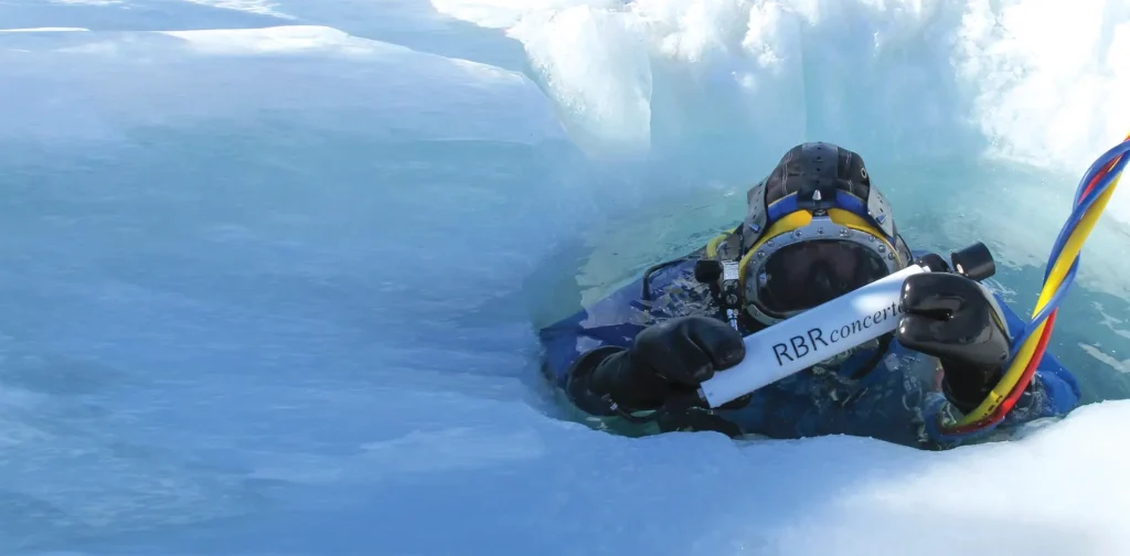
RBR array collects fine-scale measurements in the strongly stratified centimeters-thick boundary layer under seasonal lake ice
Researchers from Germany, Russia and Finland deployed 12 RBRsolo³ T temperature loggers into an ice-covered lake in northern Finland to study…
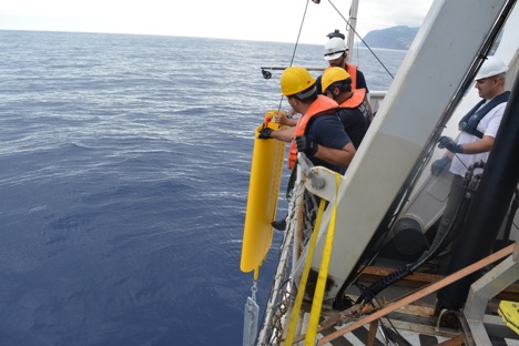
Uncovering the Ocean Dynamics Off the Coast of Madeira Island, Portugal
In the lee of Madeira Island, a famous-to-oceanographers formation occurs. To better understand ‘Madeira-Mode Water’, a team of researchers from the…
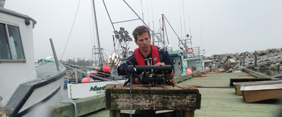
Wave data and modelling inform harbour planning in southern Nova Scotia
The small fishing harbour of Lower Sandy Point, near the southern tip of Nova Scotia, was modified to reduce the agitating…
We partner with passionate oceanography and water quality experts worldwide to ensure you receive excellent local customer service, sales, and support.