The Salish Sea, located on the west coast of Canada, is bounded by the lower mainland of British Columbia to the east, Vancouver Island to the west, and the state of Washington to the south. This Sea is a bustling location, with millions of people living along its shoreline and numerous vessels sailing through its waters daily. It is also … Read More about Monitoring sound in the Salish Sea: how scientists are trying to understand the decline of Southern Resident Killer Whales
RBRsolo³ D | Depth Loggers deployed in research on wave transmission through mangrove forests
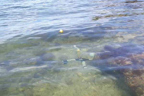
In July of 2019, Tori Tomiczek and Anna Wargula, assistant professors at the United States Naval Academy’s Department of Naval Architecture and Ocean Engineering in Annapolis, Maryland, USA, mounted RBRsolo³ D depth loggers to the roots of mangroves in Key West, Florida, to determine the transmission of boat wakes through the saltwater-inundated trees. Their work will help to better quantify … Read More about RBRsolo³ D | Depth Loggers deployed in research on wave transmission through mangrove forests
How deep is the ocean? Mapping, measuring, and diving to the Mariana Trench’s Challenger Deep
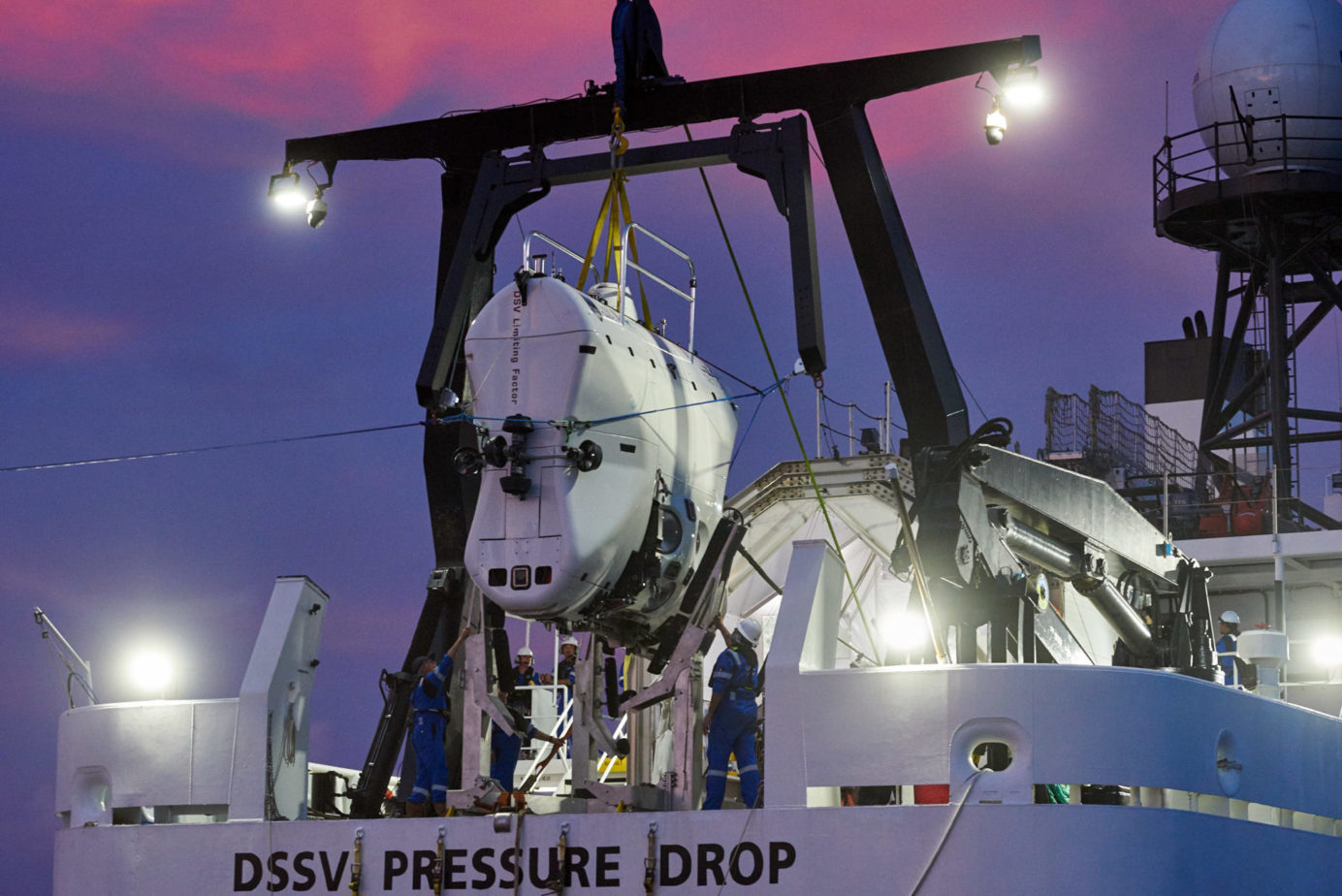
There is only one submersible in the world that on any given day can dive, taking its pilot and one other person, to the deepest parts of the ocean. To reach the bottom of the Challenger Deep, Caladan Oceanic’s Deep Submergence Vehicle (DSV) Limiting Factor, descends through the water column for four hours. By the tenth minute of the 11 … Read More about How deep is the ocean? Mapping, measuring, and diving to the Mariana Trench’s Challenger Deep
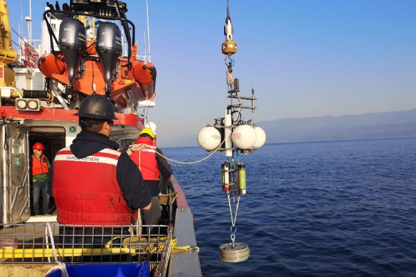
RBR pressure sensors deployed to investigate ship wakes along the St. Lawrence Seaway
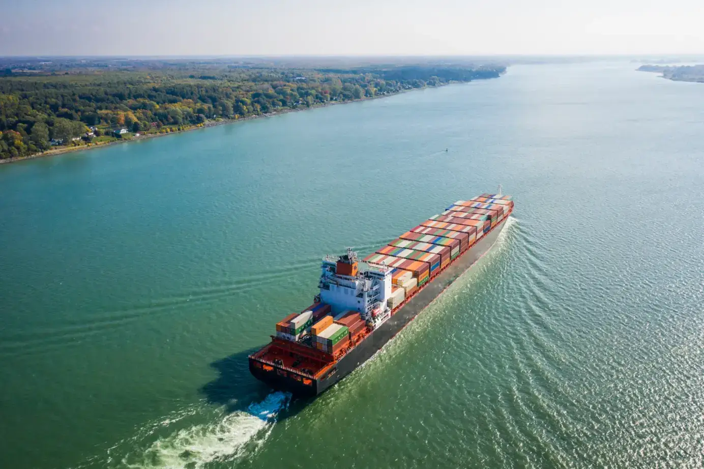
The St. Lawrence Seaway has for sixty years provided a critical shipping route that connects the Atlantic Ocean to the Great Lakes. By a series of canals and locks built between 1955 and 1959, the Seaway covers 3,700km, from the Atlantic Ocean to the western limit of Lake Superior. It supports ships up to 225m long and with up to … Read More about RBR pressure sensors deployed to investigate ship wakes along the St. Lawrence Seaway
Wave data and modelling inform harbour planning in southern Nova Scotia
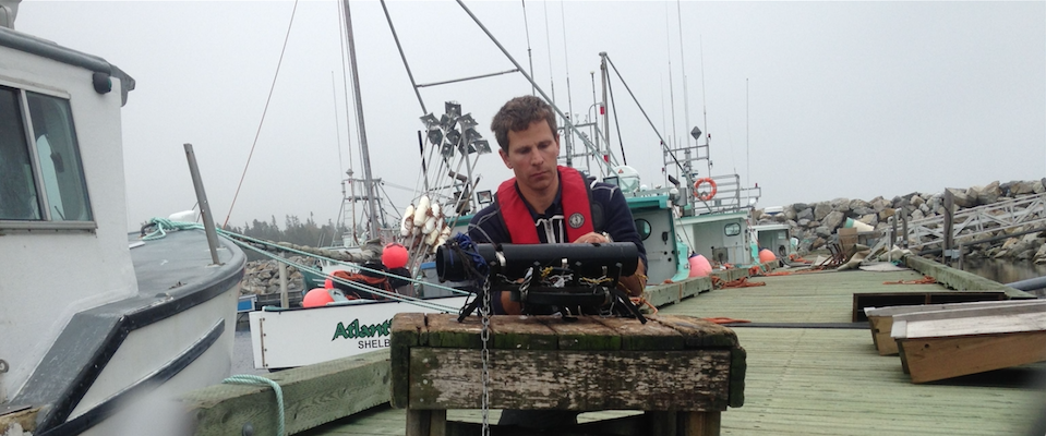
The small fishing harbour of Lower Sandy Point, near the southern tip of Nova Scotia, was modified to reduce the agitating effects of swell. Breakwaters were added, nearly enclosing the harbour. The resulting structure – approximately in the shape of two backward Ls with an opening between their bases – successfully reduced the swell, and, several times each year, in … Read More about Wave data and modelling inform harbour planning in southern Nova Scotia