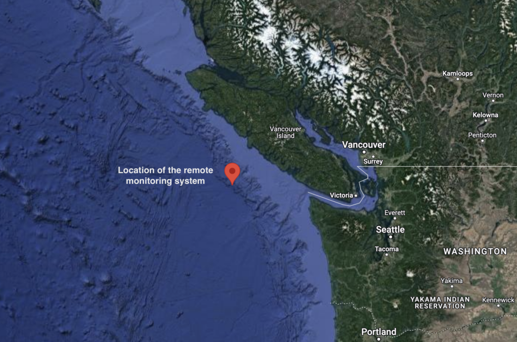
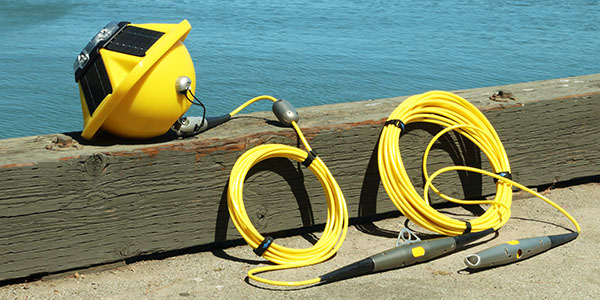
January 4, 2023In 2021, RBR and Ocean Networks Canada (ONC) collaboratively designed and deployed a suite of instruments tailored to long-term and…
 August 16, 2022Grise Fiord, located on Ellesmere Island in Nunavut, is the northernmost community in Canada’s Arctic and home to approximately 130…
 February 24, 2021
 December 1, 2020
 July 14, 2020
 March 25, 2020
 March 19, 2020
 January 28, 2020
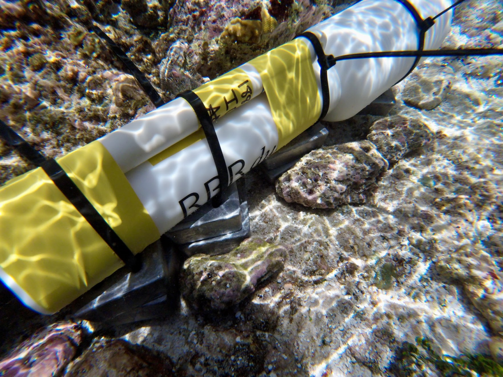
 July 9, 2018July 2018 – Ottawa, ON, Canada Accurate and long-term measurements of sea level, tidal harmonics, and tsunami activity are a…
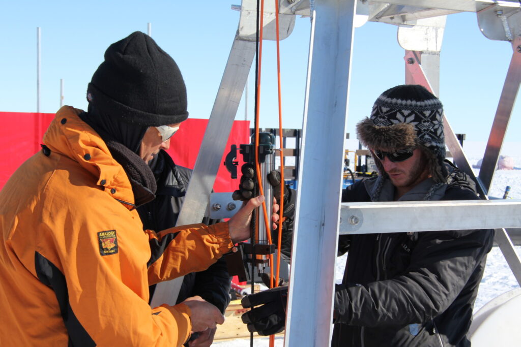
- May 20, 2016Drilling ice deeper than most of the world’s freestanding structures: Dr. Makinson discusses deploying instruments in Antarctica.
This website uses cookies to analyze website traffic, improve website performance and display advertisements. By continuing to use this website, you are consenting to the use of these cookies.