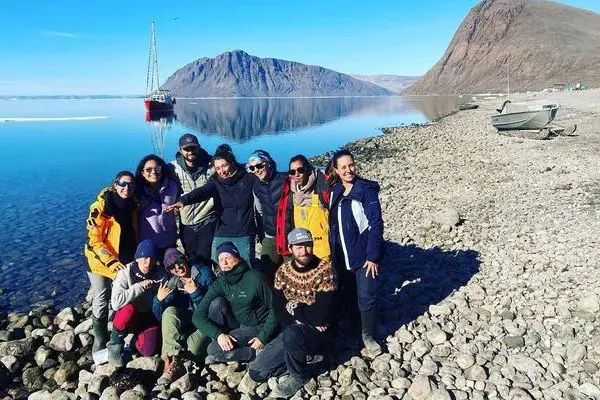
Nestled between Ellesmere Island and Devon Island is Jones Sound, which is located in the rapidly and dramatically changing Canadian Arctic. The coastlines here are characterised by intricate fjords, many of which are highly influenced by tidewater glaciers (i.e. glaciers that end at the head of the fjord which discharge meltwater below the ocean surface). It is a region at … Read More about Understanding the glacier-ocean connection in Jones Sound: A multidisciplinary approach
Resolving spatial and temporal variations in estuarine gas flux
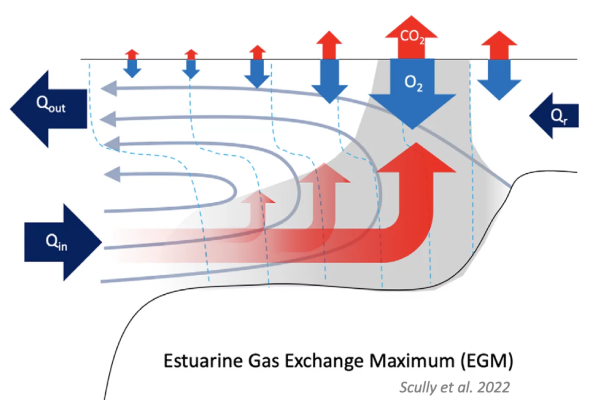
Estuaries are thought to be major players in the global carbon budget, acting as significant sources of carbon dioxide to the atmosphere. However, the uncertainties on existing measurements are high. A recent study led by Dr. Malcolm Scully, a researcher at the Woods Hole Oceanographic Institution (WHOI), aims to improve our understanding of global fluxes of CO2 from estuaries by examining how … Read More about Resolving spatial and temporal variations in estuarine gas flux
The Nature Trust of British Columbia and Coastal First Nations deploy RBR loggers to enhance sustainability of wild BC fish stocks
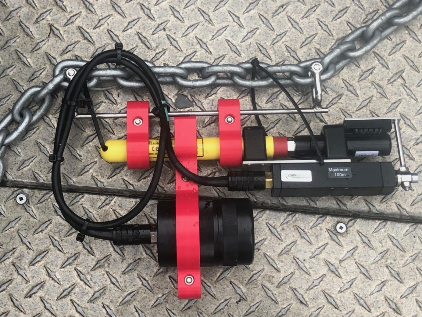
In fall of 2019, The Nature Trust of British Columbia (The Nature Trust of BC), Canada, launched a five-year monitoring program using RBRsolo³ Tu turbidity loggers and RBRmaestro³ multi-channel water quality loggers to determine the resilience of 15 estuaries to sea-level rise and climate change. The Enhancing Estuary Resilience Project is a partnership between The Nature Trust of BC, the … Read More about The Nature Trust of British Columbia and Coastal First Nations deploy RBR loggers to enhance sustainability of wild BC fish stocks
Citizen scientists deploy RBR CTDs and collect valuable ocean data
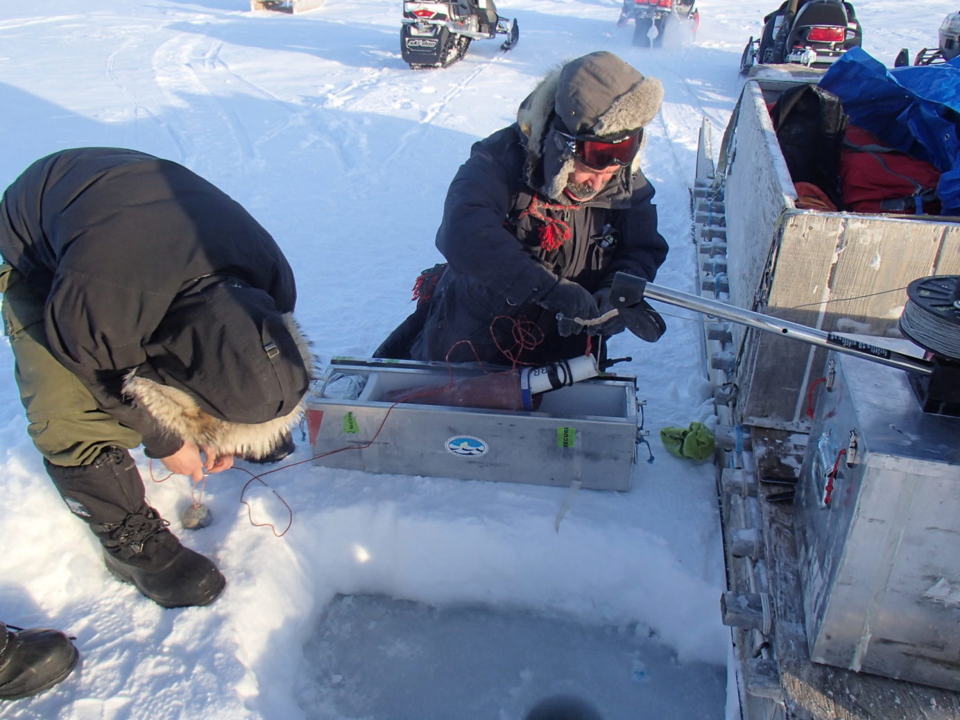
Citizen scientists are a boon to oceanography. In a field where measurements are needed across 70% of the Earth’s surface and to depths of hundreds or thousands of meters, citizen scientists, collecting reliable high-quality data – often using RBR instruments – are adding pins to the data map. As their value is becoming more widely recognized, citizen scientists are being … Read More about Citizen scientists deploy RBR CTDs and collect valuable ocean data
Lake Tahoe’s Nearshore Network and Protecting Water Clarity
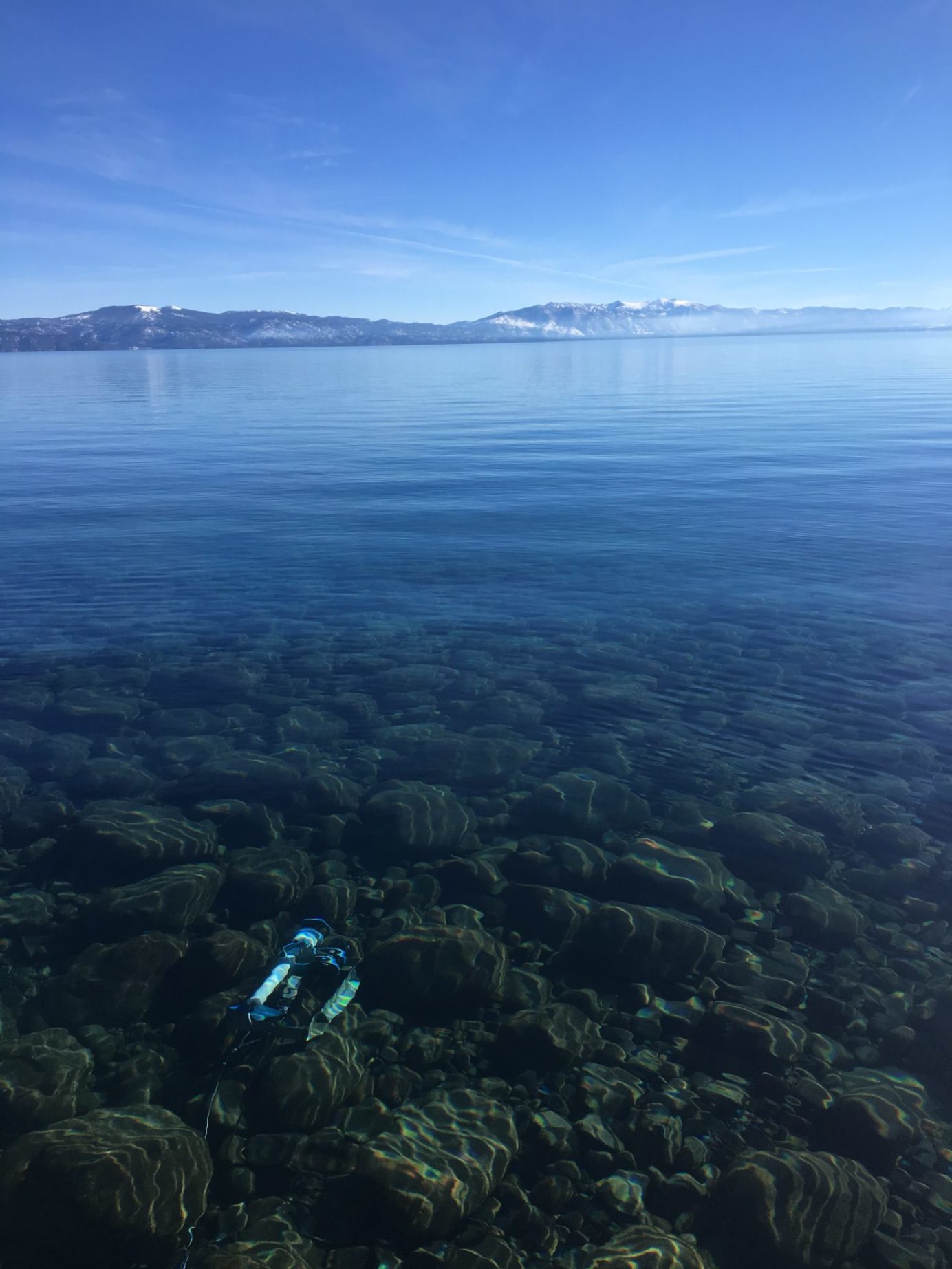
Renowned for its cobalt blue colour and clarity, at 1,900 m elevation, Lake Tahoe is North America’s largest alpine lake. It straddles the California-Nevada border and on all sides rise the peaked Sierra Nevada mountains. Over two million people visit the Tahoe region annually; Frank Sinatra once owned a casino on Lake Tahoe’s shore. It’s little surprise then, that when … Read More about Lake Tahoe’s Nearshore Network and Protecting Water Clarity